Kuta = Hill Top, Bergspitze (germ.). Possibly the site of a Licchavi Palace, cf. Mt. Kailash (6715 m) in Tibet. My idea is that each Place (Area) in the City should be represented by at least one picture of a Temple, a Shrine, a Chaitya and Sculptures.
No. 15
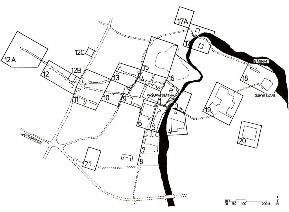
Map from Axel Michaels, Govinda Tandan, Maps of Deopatan, Bonn 1994
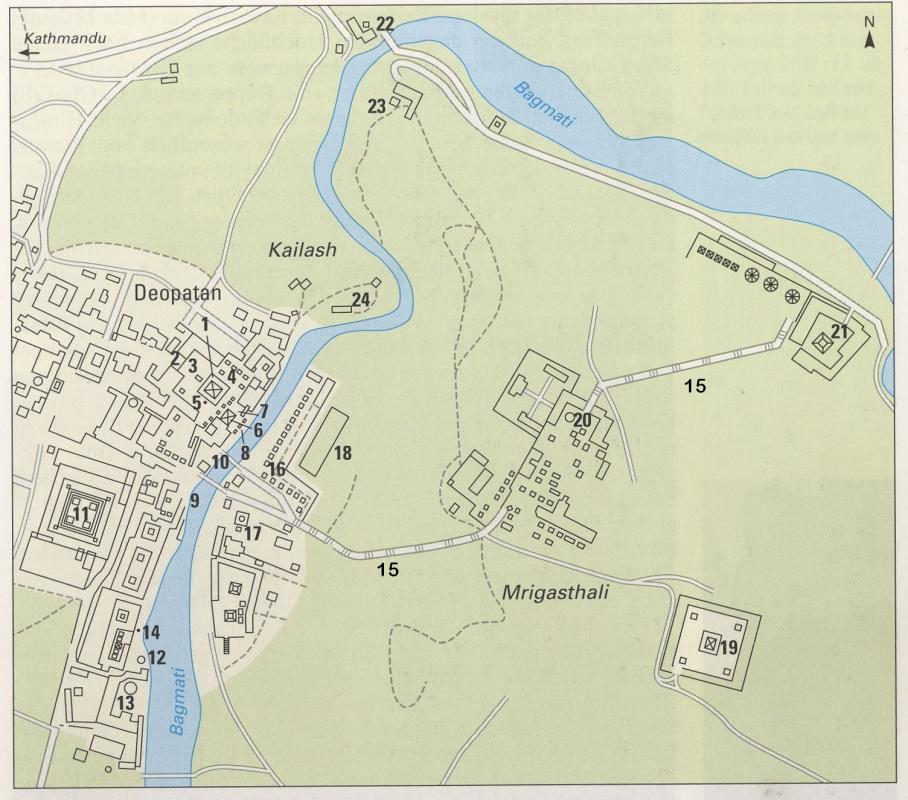
Map from Ulrich Wiesner, Nepal, Du Mont Kunst-Reiseführer, 1. Aufl. Köln 1997
Axel Michaels, Govinda Tandan, Pasupatiksetra - Maps of Deopatan with Drawings of Harald Fritzenkötter, Supplement Volume zu Reisen der Götter, Bonn 1994