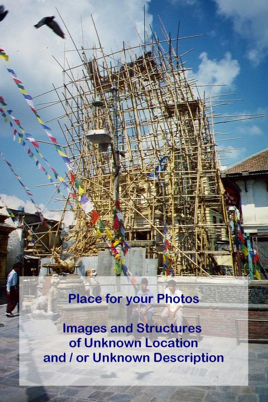
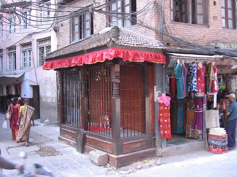
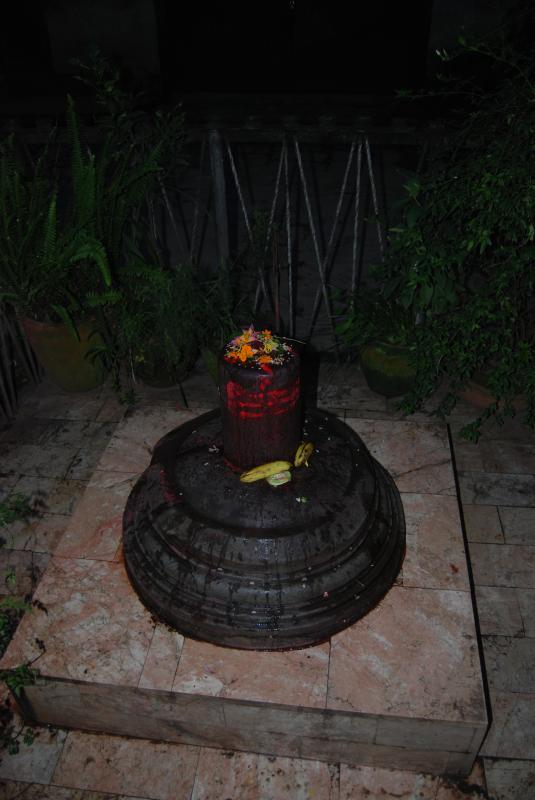
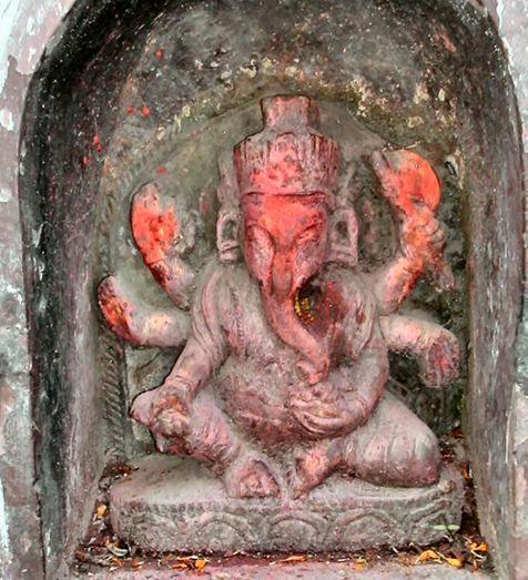
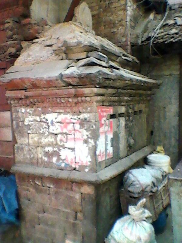
Zentrum von K., s. Indien-Tibet-StraÃe My idea is that each Place (Area) in the City should be represented by at least one picture of a Temple, a Shrine, a Chaitya and Sculptures.
11th ct.
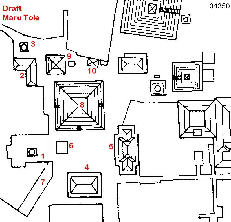
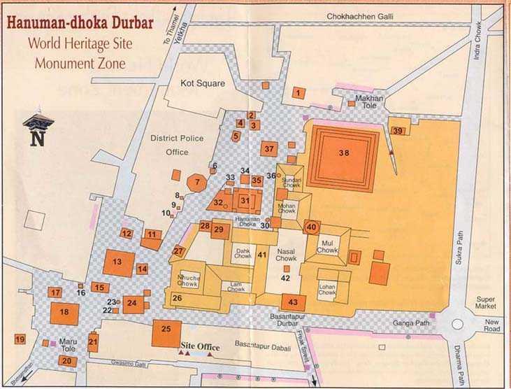
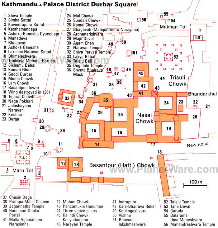
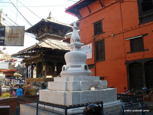
Draft Map of Maru Tole
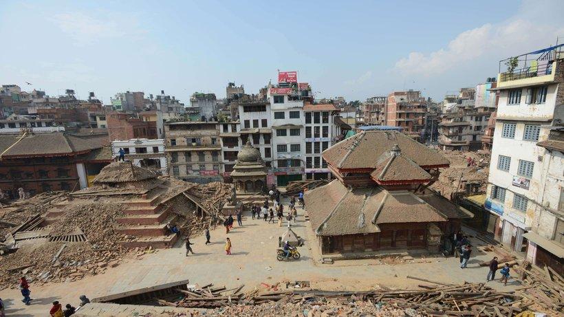
Foto by Brian McMorrow, 2007, www.pbase.com/bmcmorrow
Foto by Kamal R. Tuladhar in http://commons.wikimedia.org/wiki/File:Gakuti.jpg
a.E.
a.E.
a.E.
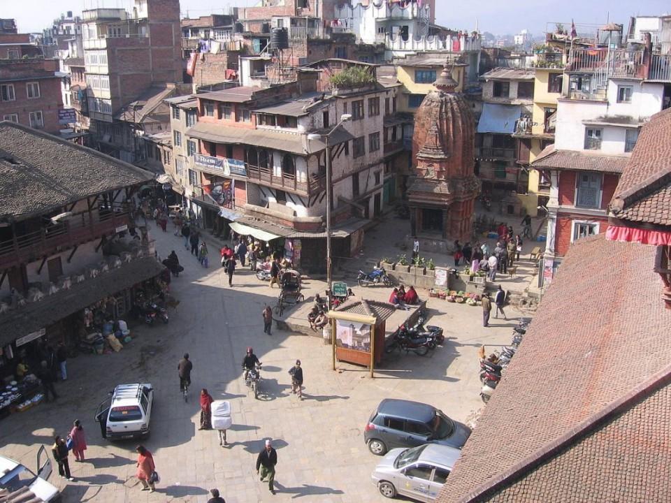
Foto by Navjot Singh in http://www.navjot-singh.com/navjots-blog/category/nepal
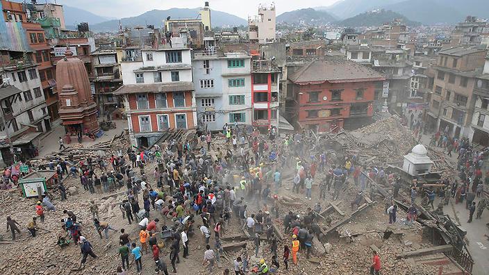
Foto by N.N. in http://www.sbs.com.au/news/sites/sbs.com.au.news/files/styles/full/public/20150425001125806122-original.jpg
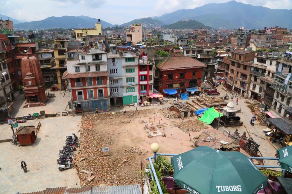
Foto by Prakash Mathema in http://www.zeit.de/politik/ausland/2015-04/nepal-erdbeben-zerstoerung-tempel-durbar-platz-weltkulturerbe
National Geographic Information Infrastructure Programme, Index of Geographical Names of Nepal, ngiip.gov.np/data-center/
You´ll find Overview Maps of all seven World Heritage Sites in http://whc.unesco.org/en/list/121/multiple=1&unique_number=1448